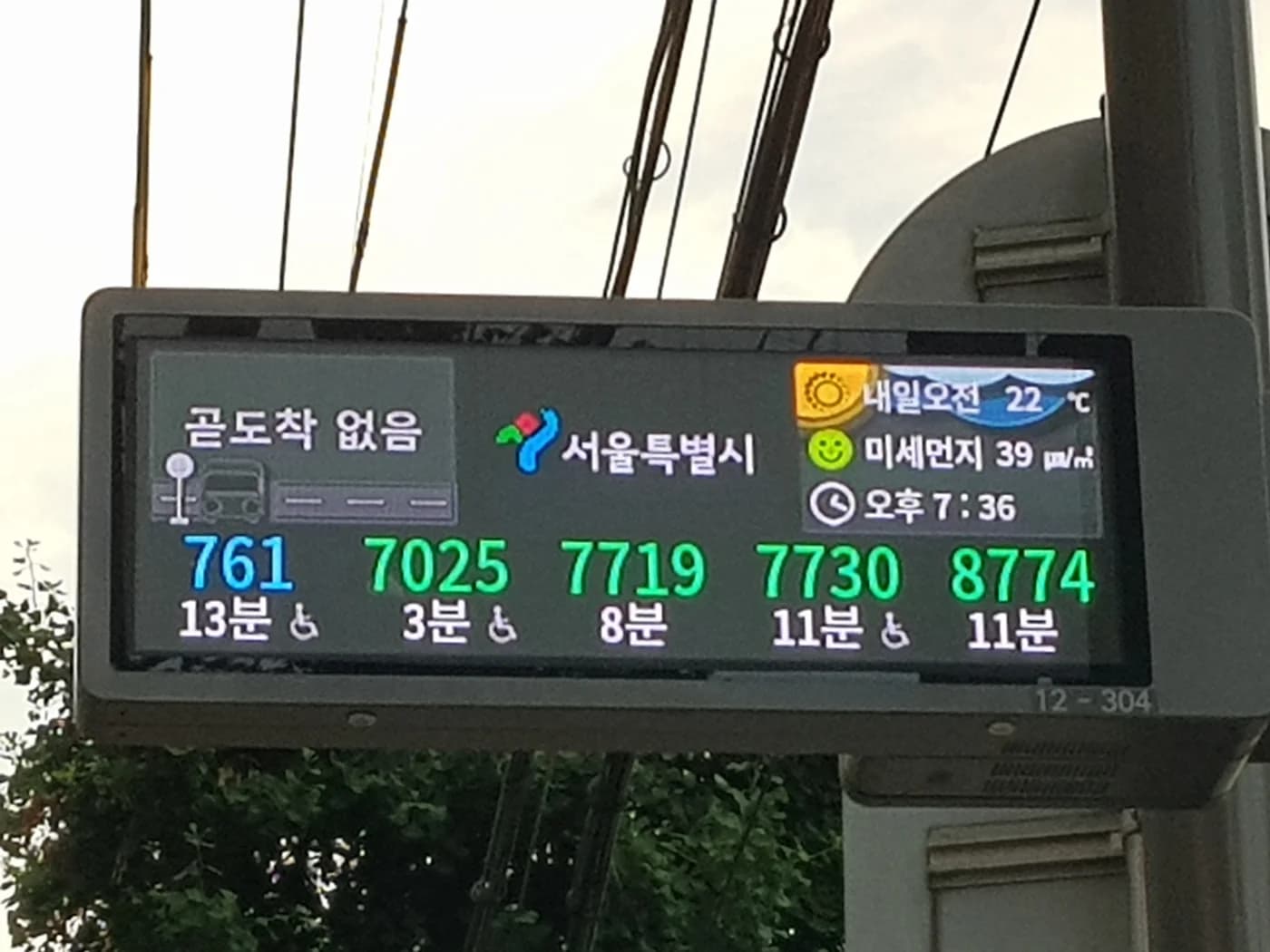
At a giant transfer station, “follow the crowd” works until the crowd splits three ways. Seoul’s signs give you a better method: find the next line, confirm its color and number, then choose the direction by destination—not by instinct.
The transfer itself normally stays inside the paid area. Your T-money card handles the fare journey; the signs handle the walking journey between platforms.
Start With the Line You Need Next
Look for the number or name of the line you are transferring to. Seoul’s numbered lines have stable identities such as Line 2 or Line 4, and each is paired with a color. Other metropolitan rail services may use a name and abbreviation instead.
Color is helpful, but do not depend on color alone. Seoul’s map redesigns deliberately combine colors with line numbers, patterns and clearer transfer markings so riders—including people with color-vision differences—have more than one cue.
At a complex interchange, temporary construction signs can override the usual corridor. Follow posted arrows and staff directions even if a navigation app draws a shorter-looking path.
Then Choose the Platform Direction
Finding Line 4 is only half the job. A line has two directions. Platform signs usually identify the direction with a terminal station, major downstream station or the next station on that side.
Compare one or two stations after the transfer point on your route map. If they appear on the sign for that platform, you are facing the correct direction. This is safer than assuming “northbound” or “downtown,” labels Seoul does not use consistently across the network.
Branches and loop lines deserve extra attention. On Line 2, for example, a circular route can make a compass direction less useful than the sequence of named stations. On branched services, the train destination can matter even after you reach the correct platform.
Transfer and Exit Signs Do Different Jobs
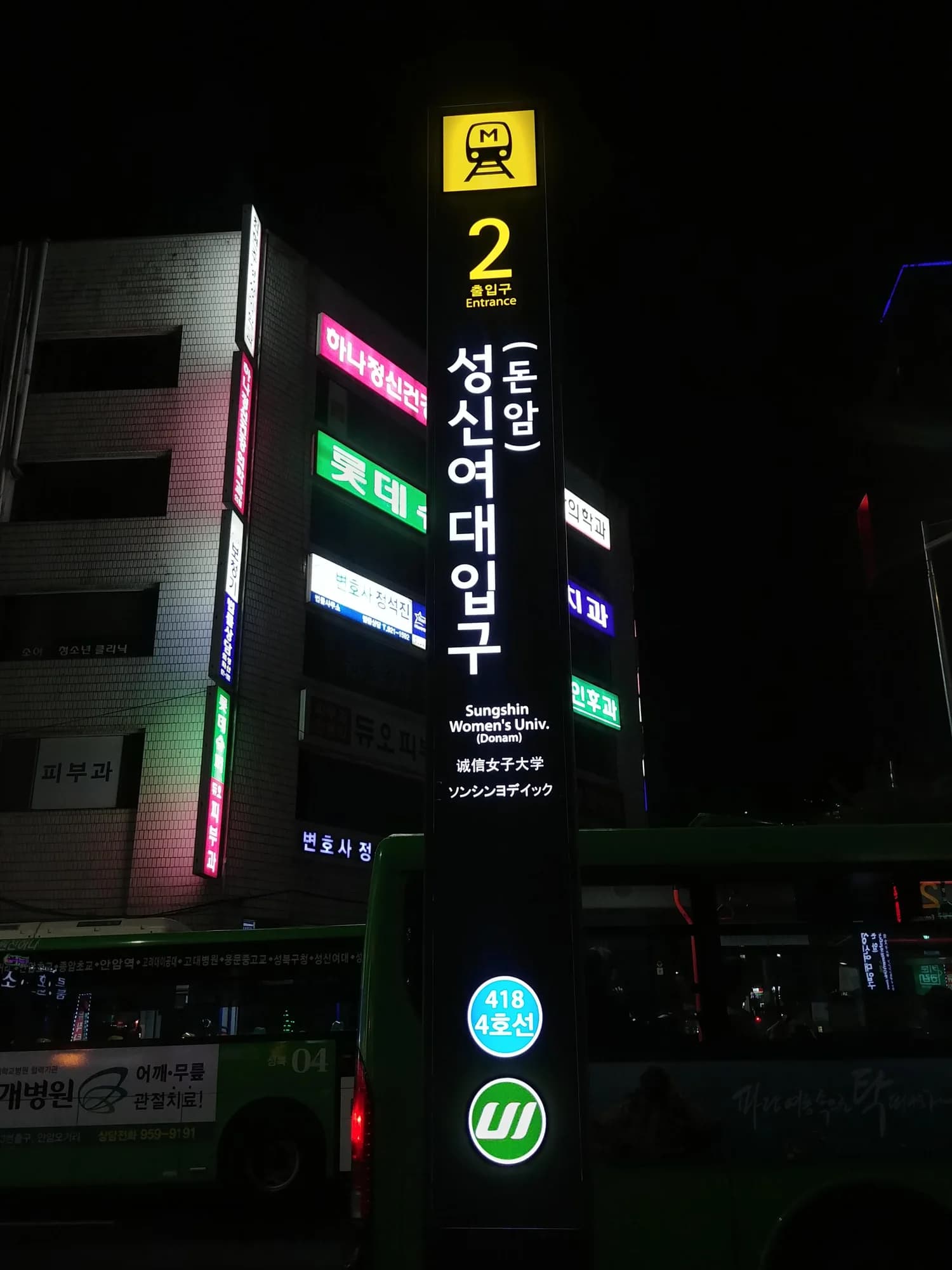
A transfer arrow sends you toward another rail line. An exit number sends you out to a particular street corner. The numbered-exit system becomes useful after the train journey, not while you are still trying to reach the next platform.
Do not pass through an exit gate just because an outdoor map looks closer. Leaving the paid area can close the rail trip and require another fare entry. If you accidentally reach a gate, show staff your route before tapping through.
Transfer corridors can include long walks, stairs, escalators and lifts. An accessible route may differ from the fastest arrow path, so follow lift symbols or ask station staff when step-free travel matters.
Use Apps as a Check, Not a Substitute for Signs
A route app can tell you the transfer station, estimated walking time and useful carriage position. Once underground, the current signs remain the authority because platforms, works and service patterns can change.
Save the Korean and English names of your destination. Station numbers are valuable too: they help distinguish similar romanizations and show which line a station belongs to.
If you are carrying bags, do not confuse a transfer corridor with the separate station-locker service. Record the locker’s exact location before moving to another line; a large interchange may make returning surprisingly slow.
The reliable sequence is line, direction, next station. Read those three in that order, and even a long underground transfer becomes a series of small confirmations rather than one heroic guess.